
Independent Geospatial Data
and Analysis
For Agriculture, Natural Capital and Environmental Projects
Remove the Guesswork from Precision Agriculture and Natural Capital Projects
AirborneLogic helps landholders, businesses, project developers and government organisations make confident decisions through trusted, science-led data and analysis.
From precision agriculture and viticulture through to carbon, biodiversity and natural capital projects, we combine advanced remote sensing, spatial analysis and environmental expertise to deliver insight you can rely on.
Whether you're improving farm performance, evaluating a carbon project, measuring biodiversity outcomes or assessing natural capital opportunities, AirborneLogic provides independent, science-led data you can trust to make confident decisions.
Precision Data Capture
High-resolution drone and remote sensing surveys
Environmental Monitoring
Carbon, biodiversity and land condition reporting
Actionable Insights
Geospatial analytics that drive better decisions
Turning Complex Data Into Confident Decisions
Good decisions depend on good information.
AirborneLogic helps clients understand what's happening across landscapes, agricultural systems and environmental projects through rigorous, independent data collection, analysis and interpretation.
Whether the goal is improving productivity, monitoring environmental outcomes, supporting investment decisions or quantifying natural capital, our work provides the evidence needed to move forward with confidence.
Our services combine remote sensing, spatial analysis, environmental science and industry expertise to deliver practical, defensible insights.
What We Do
Core Services
Discover how our specialized services can benefit your operations.
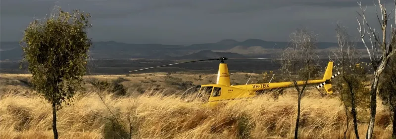
Carbon Farming & Natural Capital
Independent Natural Capital MRV services for carbon and biodiversity credit projects - with expertise in the data, science and mapping that underpin credit generation
Read More →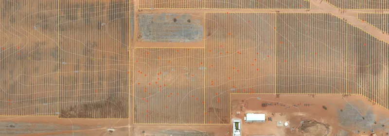
Farm Mapping & Monitoring Systems
Custom built GIS mapping and monitoring systems for powerful decision-making, real-time management, sharing information and integrating technology
Read More →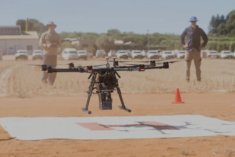
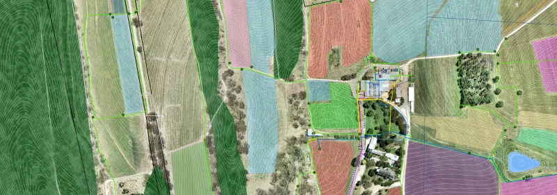
Our Sectors
Industries We Serve
Explore the diverse industries leveraging our expertise.
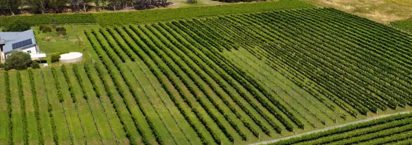
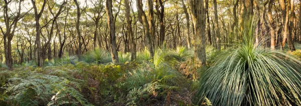
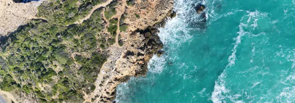
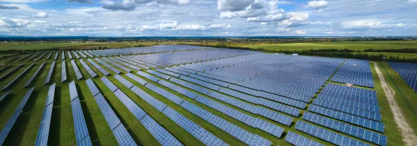
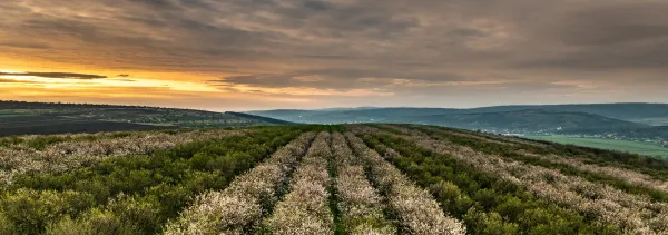
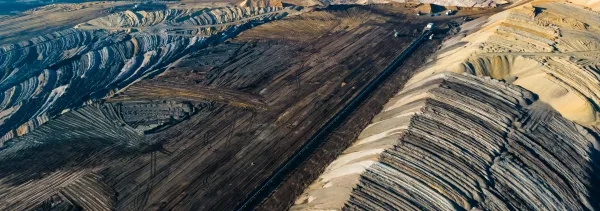
News & Insights
Resources
Stay updated with our latest research, news, and case studies.

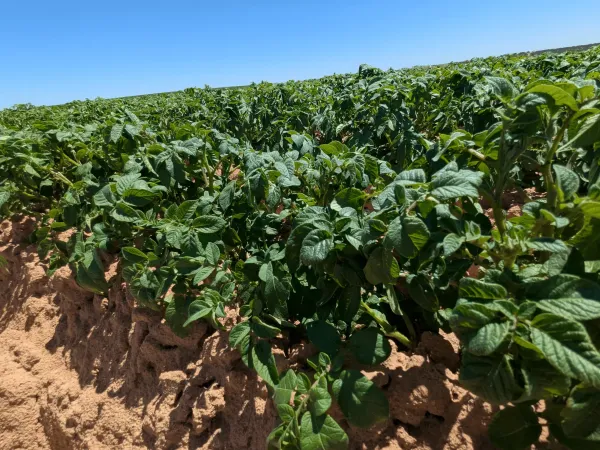
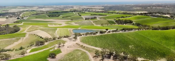
Digital Tools
Portals
Access insights and tools via our Grower and NatureLogic+® portals.
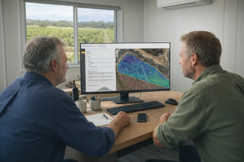
Grower Portal
Purpose-built for agriculture clients, delivering plant-level Vigormetrics®, raster RGB layers from drone flights, thermal imagery for leak detection, and rich block/row/plant summary statistics.
- Plant-level Vigormetrics®
- Raster RGB layers from drone missions
- Thermal imagery to detect irrigation leaks
- Block, row and plant summary stats
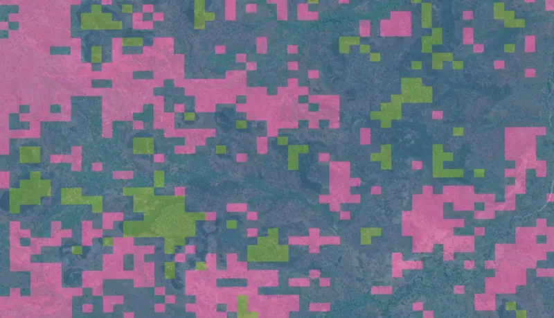
NatureLogic+® Portal
Coming soonIn development: a portal for Natural Capital projects to explore stratified project areas, track progress, and bring multiple MRV layers and metrics together in one transparent view. As the platform grows it will become the central place to follow a project from baseline through to verification.
- Stratified project views
- Progress tracking across project phases
- Layered MRV insights (coming soon)
Ready to talk?
Let's discuss how AirborneLogic can assist with our geospatial expertise.