Lets talk – what’s your problem?

Yep, now’s your chance – What’s your problem? Tell us how it is, make sure we point the horse in the right direction.

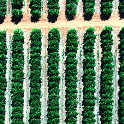
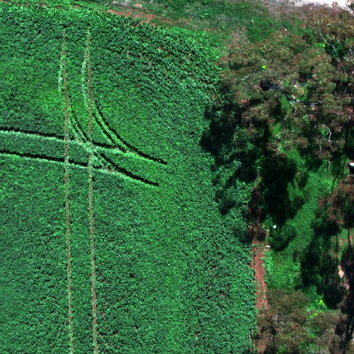
Review satellite image

We view the most recent images of your property.
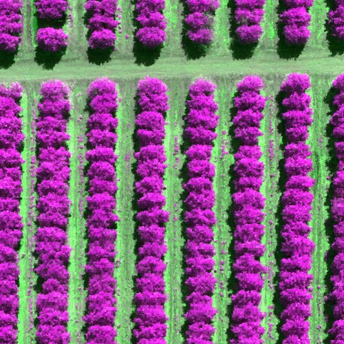
Fly the property

Depending on location and size we will do this with either a fixed-wing aircraft, helicopter or drone using a variety of sensors and cameras.

Agronomist inspection

Our Agronomy and tech team will help ground truth the issues with you at the same time we fly. They will be working with our flight data analysts to understand and compare field conditions and image data.
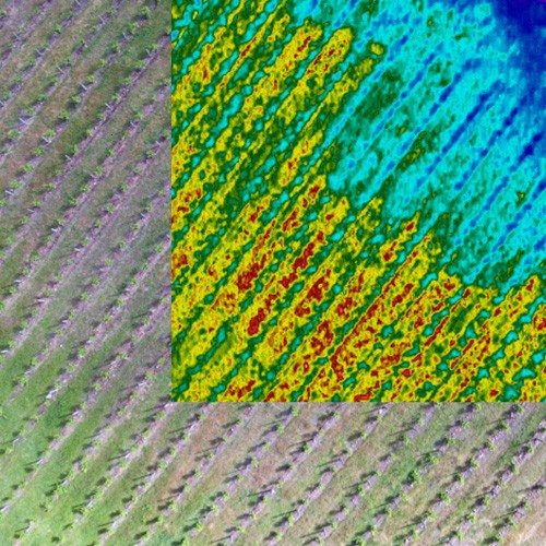
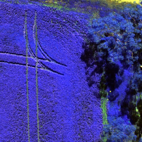
Data analysis

Our data analysts will use the latest in data assessment, computing and machine learning techniques to identify and correlate field problems and practices.

Report

We will provide you with a report with the crop issues and a pathway for solutions, whether that be directly with you as a farm manager or your nominated agronomist, viticulturist or trusted adviser. We will also ensure your spatial data can be incorporated into any software or mobile app you may use.

We work with you every step of the way.

how it works

How our technology works?

We use some of the world’s most sophisticated instruments on aerial platforms, such as drones, aircraft and helicopters. This is interfaced with up-to-date satellite imagery. We train computers to pick up subtle differences in colour and light reflectance. We also check this in the paddock with your specialist advisors (agronomists, viticulturists, farm managers). Our aim is to help you spot the problems faster, usually well before you would normally see it. Our reports help you create the right solution, saving you time, resources and money.

The value in data

Our clients keep telling us they can’t see the business case for adoption of technology, so we’ve based our business on changing this perception. Clearly demonstrating the value to farming of technology and data is our goal. Unlocking value from BIG data is the key. We generate so much image data we need to train machines to learn how to unpack it and learn from other supporting data. We haven’t forgotten the need to look in the paddock though! So we’re matching image data collection with infield agronomy and most importantly with your observations, to create the answers you want – a clear demonstration of farm savings and value!

Get started with AirborneLogic!

Talk to our team to schedule your consultation for detailed product info, pricing, and more.