
Industries We Serve
Our common thread
While the industries we work with are diverse, the underlying mission is the same: understanding what is really happening on the ground and making confident decisions based on reliable information.
Agriculture
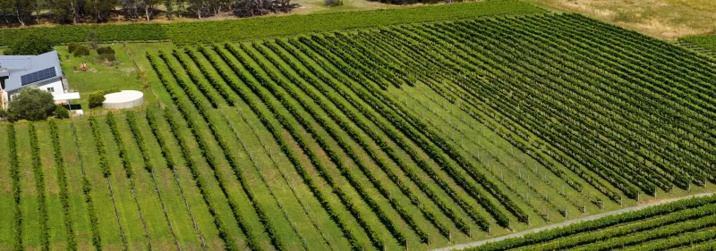
Remote sensing, crop and environmental analysis, and GIS based reporting for the research and development of trials, methods and new products
- Farm & Crop Mapping
- Trial Monitoring & Analysis
- Product Research & Development
Carbon Farming & Nature Repair Services
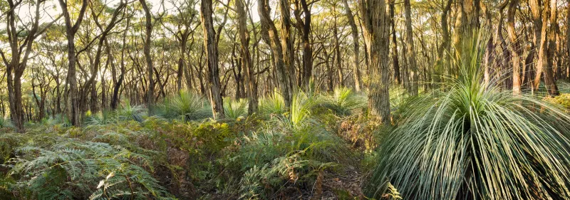
Providing a comprehensive suite of independent Measurement, Reporting and Verification services and products to ensure projects trust and integrity
- Remote Sensing & Field Data Integration
- Carbon Baseline & Sequestration Modeling
- MRV Reporting & Compliance
- Digital Dashboards & Mapping
Environmental Monitoring
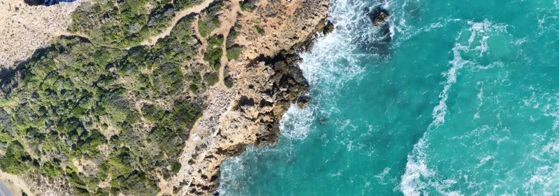
Detailed, spatially accurate mapping and classification of habitat types, biodiversity and natural assets for benchmarking, environmental planning and detecting change
- Land Cover & Change Detection
- Vegetation & Forest Mapping
- Habitat Classification & Monitoring
- Biodiversity Assessment
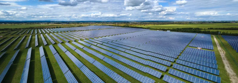
Government
Mapping, environmental data and reports for planning, monitoring and large-scale project development
- Regional Mapping & Spatial Analysis
- Environmental Data & Reporting
- Monitoring & Change Detection
- Large-Scale Project Support
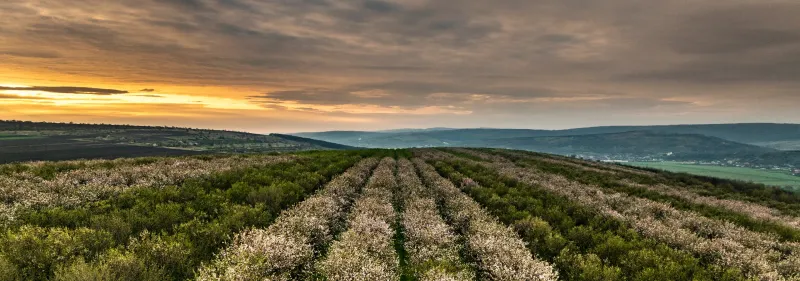
Horticulture
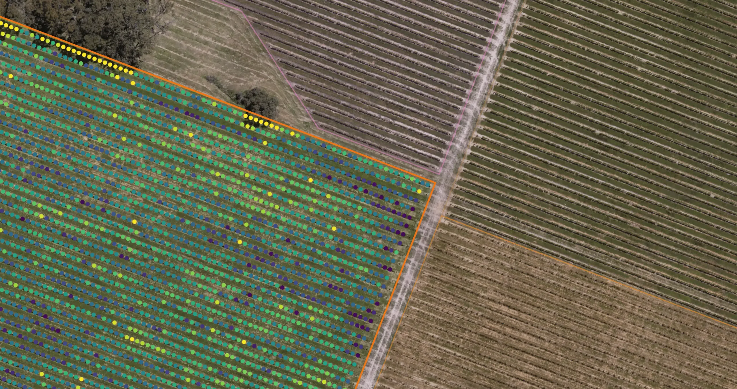
Precision based farm mapping systems with advanced analytics and statistically backed reporting for optimised planning, resource allocation and decision making
- Precision Farm Mapping
- High-Resolution Drone Monitoring
- Vigormetrics®
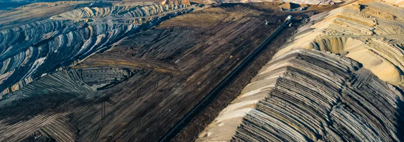
Primary Industry
Geospatial products and analytics for forestry, mining, development and infrastructure projects including LiDAR and photogrammetry for planning, inspections and compliance
- LiDAR & Photogrammetry
- Planning & Design Support
- Inspections & Monitoring
- Spatial Analytics & Reporting
Every project is different
If you'd like to discuss your goals and see how AirborneLogic may be able to help, we'd welcome a conversation.