
Mapping & GIS
End-to-end mapping and GIS services for organisations and projects that require geo-spatial information, systemised data management and verified reporting
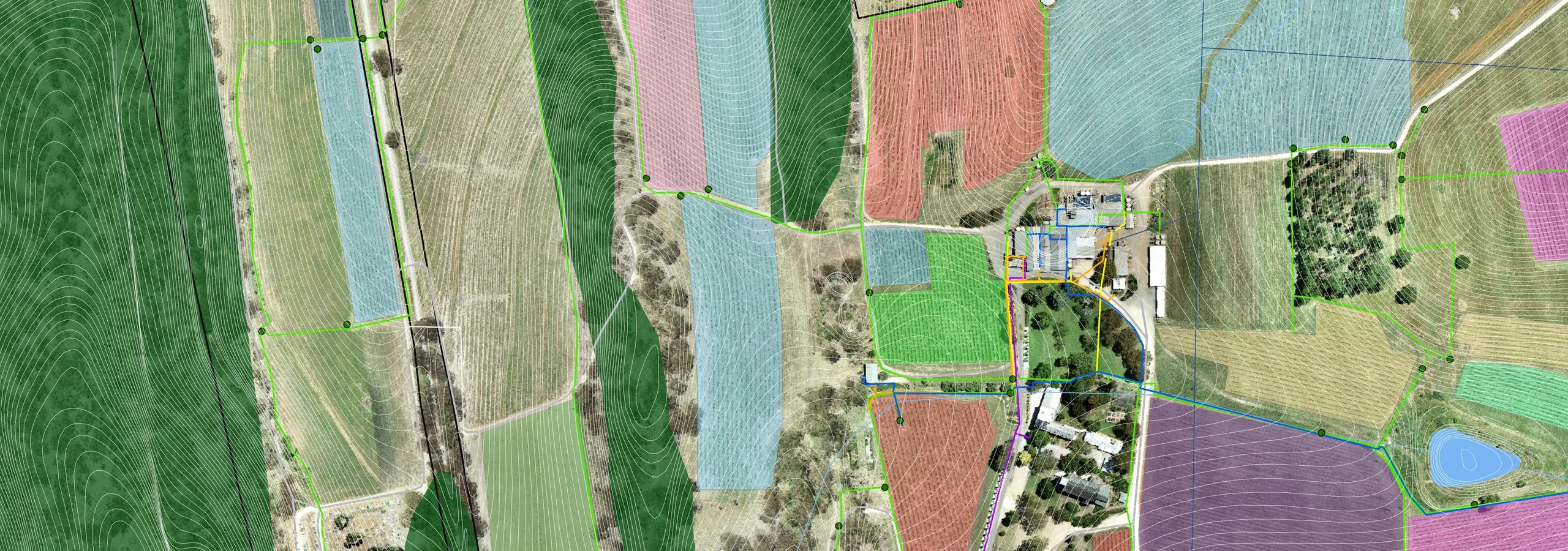
AirborneLogic designs, builds, and maintains GIS (Geographical Information Systems) tailored to the needs of agriculture, natural capital, and environmental sectors. Whether you’re a grower, consultant, or land manager, we help you scope, implement, and optimise spatial systems that support daily operations, strategic planning, and regulatory compliance.
What We Offer
- System Design & Implementation: Custom GIS architecture for farms, natural capital projects, and environmental consultancies; Integration with remote sensing, field data, and third-party platforms; Mobile-enabled field tools for inspections, data collection, and reporting
- Mapping & Spatial Analysis: Stratification based on vegetation, terrain, and soil properties; Project site mapping, asset tracking, and spatial planning; Automated reporting and dashboard creation
- Support & Maintenance: Managed Services Agreements (MSAs) for GIS upkeep and optimisation; Daily support: AGOL maintenance, ad-hoc mapping requests, help desk; Long-term improvements: automation, data ingestion, scenario modelling
- Consulting & Capacity Building: GIS strategy and scoping for mapping and remote sensing projects; Training and support for staff and consultants; Risk mitigation through system reliability and user empowerment
Why AirborneLogic?
- Industry-Focused Expertise: Deep experience in agriculture, carbon, biodiversity, and environmental sectors
- Flexible & Scalable: Solutions for small projects to enterprise-level operations
- Built for Use: Designed to be functional, intuitive, and future-fit
- Trusted by Leaders: Supporting GIS operations for local and international clients
Related services
From field to dashboard
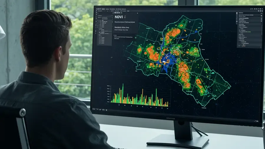
Our GIS systems enable seamless workflows from mobile field data collection using phones and tablets, to real-time analysis and reporting. Whether you're mapping farm productivity, monitoring biodiversity, or planning carbon projects, we help you turn spatial data into strategic insight and practical outcomes.