
Mapping, environmental data and reports for planning, monitoring and large-scale project development
We provide comprehensive mapping and environmental reporting solutions to support government agencies and regional development authorities in planning, monitoring, and delivering projects. Our services combine advanced geospatial technologies with actionable reporting to ensure informed decisions, clear stakeholder engagement and regulatory compliance.
Our Capabilities
1. Regional Mapping & Spatial Analysis
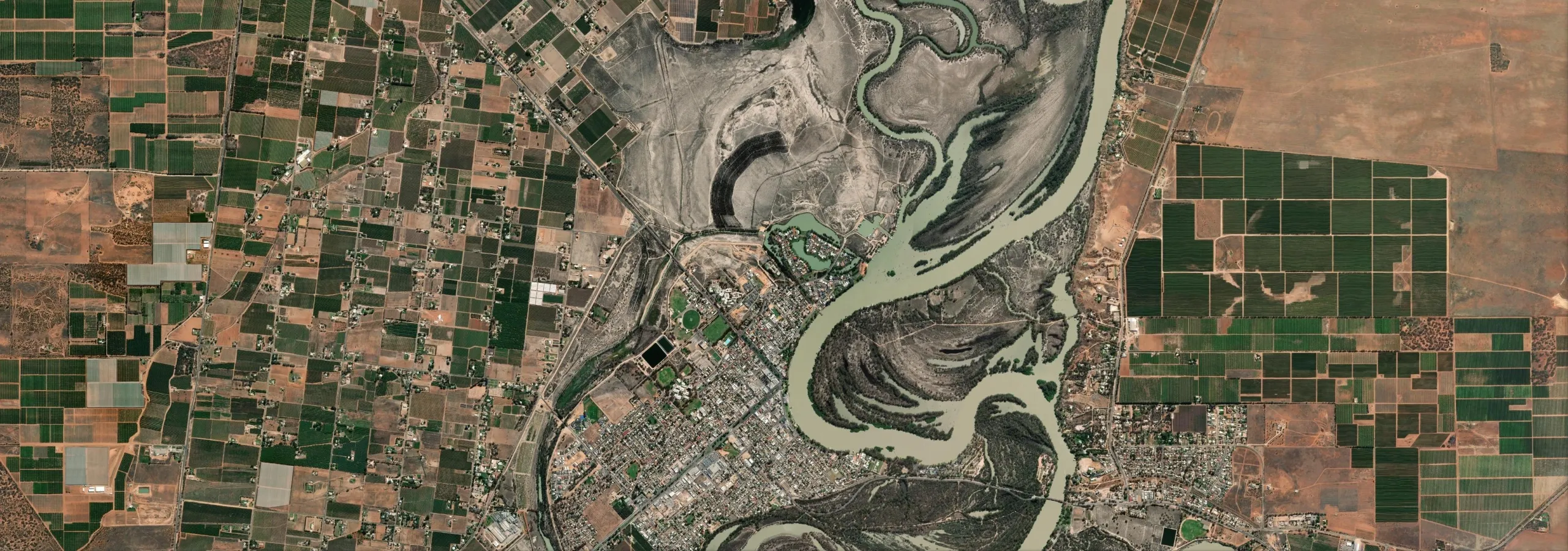
- High-resolution land cover and land use mapping and analysis
- Infrastructure and development footprint analysis
- Integration with GIS platforms for planning workflows
2. Environmental Data & Reporting
- Ecosystem health and habitat mapping
- Benchmark analysis for development projects
- Visual map products and report outputs for compliance and stakeholder engagement
3. Monitoring & Change Detection
- Remote sensing for real-time environmental monitoring
- Detection of land degradation, vegetation loss, and habitat shifts
- Long-term trend analysis for sustainable development
4. Large-Scale Project Support
- Spatial data and products for transport, utilities, and urban expansion
- Risk assessment and environmental impact modeling
- Data-driven insights for policy and investment decisions
Who we work with
We work with planning and land management agencies, regional development authorities, and the consultants and delivery partners who support government projects. As an independent data and analysis partner, we complement existing teams rather than competing with them.
Why Choose Us?
- Proven experience in government and regional development projects
- Advanced geospatial and environmental analytics
- Scalable solutions for local, regional, and national initiatives