
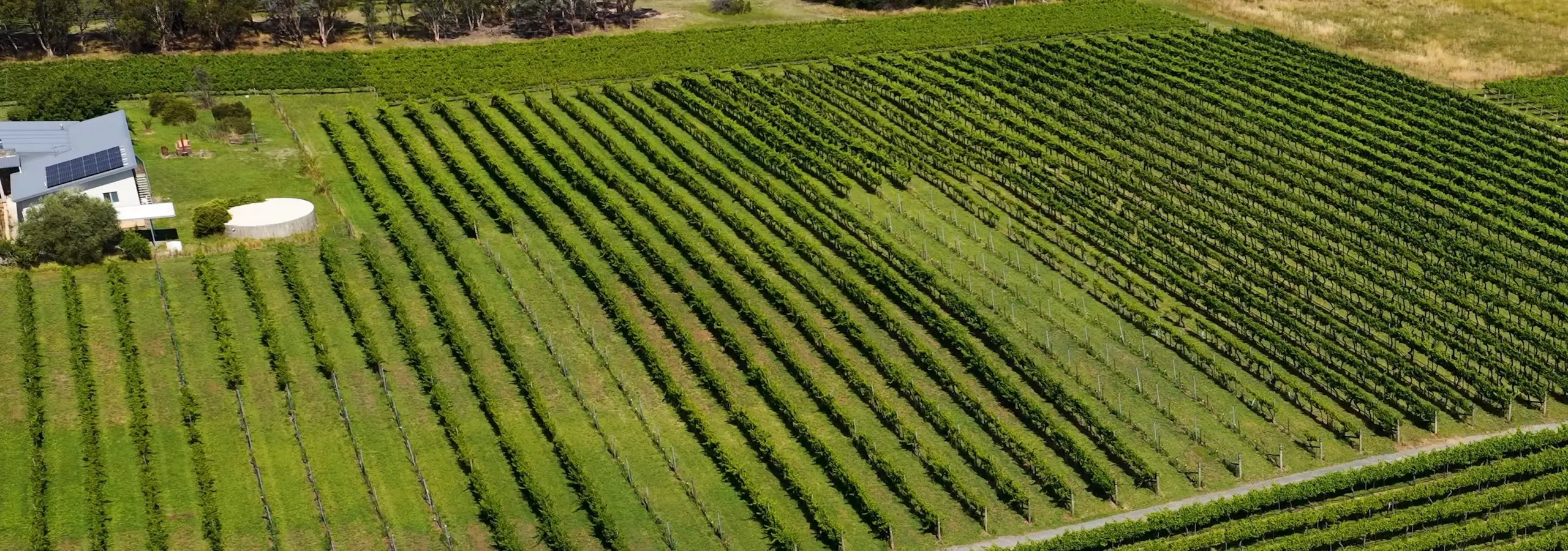
Remote sensing, crop and environmental analysis, and GIS based reporting for the research and development of trials, methods and new products
We specialize in remote sensing data capture, mapping, and advanced analytics to help growers, agronomists and researchers make informed, fact-based decisions. We design solutions for establishing trials, researching and developing products and monitoring change —delivering actionable insights for improved productivity, adaptation and sustainable development.
1. Farm & Crop Mapping
- High-resolution satellite and drone imagery
- Accurate project mapping and crop identification
- Seasonal and historical trend analysis
2. Trial Monitoring & Analysis
- Spatial data integration for R&D trials
- Growth stage and health monitoring
- Comparative performance analytics for products and practices
3. Product Research & Development
- Data-driven insights for new product validation
- Environmental and crop response modeling
- Scalable solutions for multi-site trials
Exploring carbon or natural capital?
Many of the landholders we work with are also exploring carbon, biodiversity and natural capital opportunities. We can help you understand what’s possible on your land and provide the independent data behind those decisions — see our Carbon Farming & Nature Repair services.
Who we work with
We work with growers, farm managers, agronomists, and agricultural researchers and R&D teams. As an independent data and analysis partner, we frequently work alongside consultants, advisers and service providers — complementing existing teams rather than competing with them.
Why Choose Us?
- Expertise in Australian agricultural landscapes
- Advanced remote sensing and analytics tailored to your needs
- Ongoing support Australia wide