
Our Services
Why clients engage us
Our services help clients make informed decisions across agriculture, environmental management and natural capital projects. By combining advanced geospatial technologies with independent, evidence-based analysis, we help reduce uncertainty and turn complex data into practical action.
Carbon Farming & Natural Capital
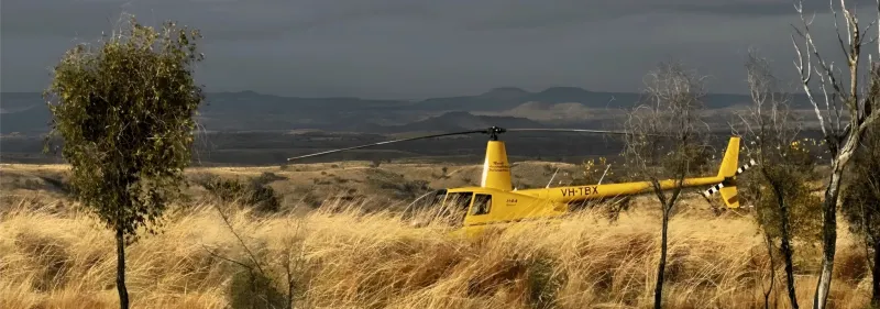
Independent Natural Capital MRV services for carbon and biodiversity credit projects - with expertise in the data, science and mapping that underpin credit generation
- Project feasibility & mapping
- Field data collection & analysis
- Reporting & monitoring
- Stakeholder confidence
Farm Mapping & Monitoring Systems
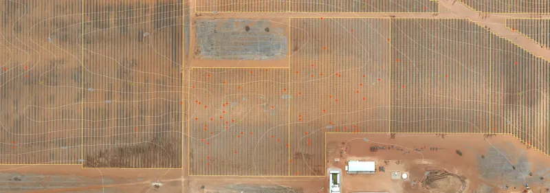
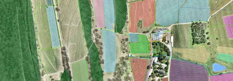
Custom built GIS mapping and monitoring systems for powerful decision-making, real-time management, sharing information and integrating technology
- Farm Mapping & GIS
- Remote Sensing & Crop Monitoring
- Data Analysis & Reporting
- Custom Software & Mobile Integration
- Support for owner operator models
Ready to Get Started?
Contact us to discuss how our services can be tailored to your specific needs.